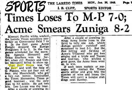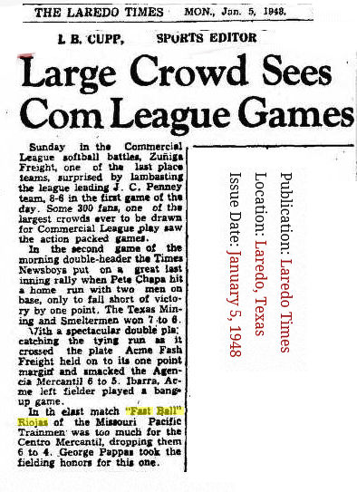


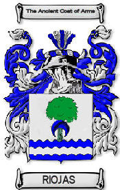
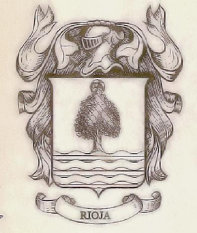
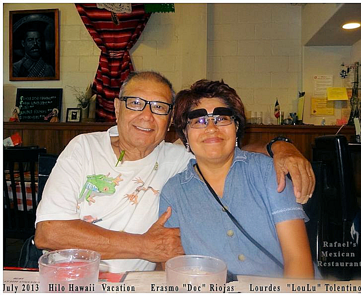
Riojas Name Meaning
Spanish: either a variant of a regional name from the province or region of La Rioja, or a habitational name from Rioja in Almeria province. The region is named for the river Oja, which flows through it; the Spanish word río ‘river’ has become fused with the river name, which is first recorded in the form Ol(i)a; it may possibly be derived from Latin folia ‘leaves’.
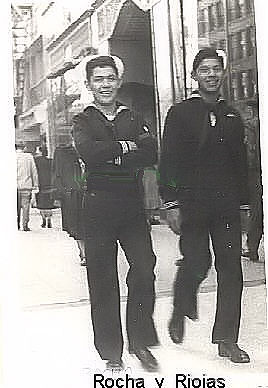
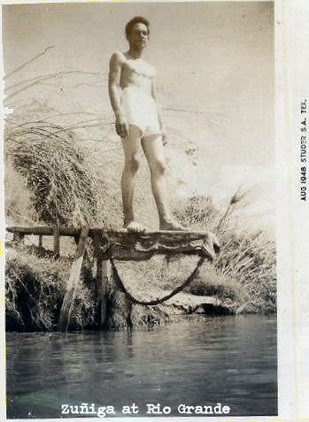
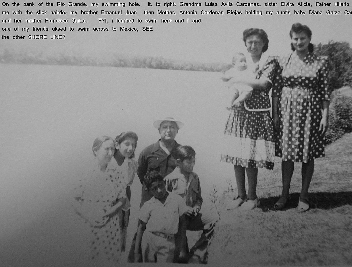
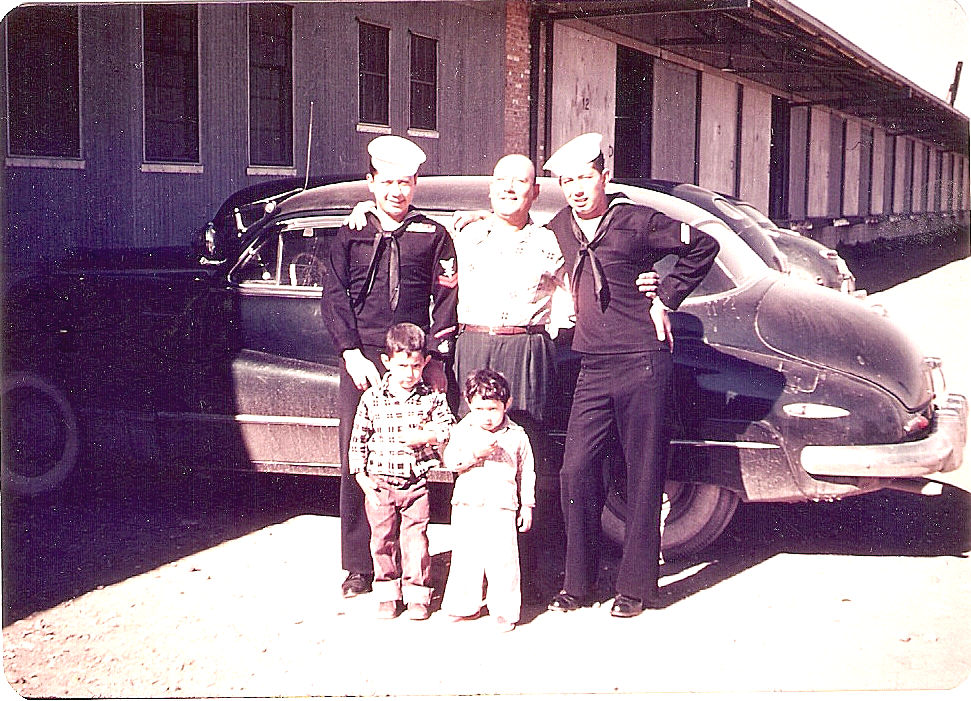
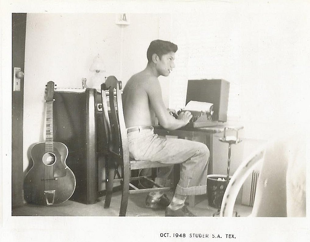
Another of the nicknames given to me while in the U. S. Navy was “Riverleaf.” It was Clarence Ashby Presley who started it.
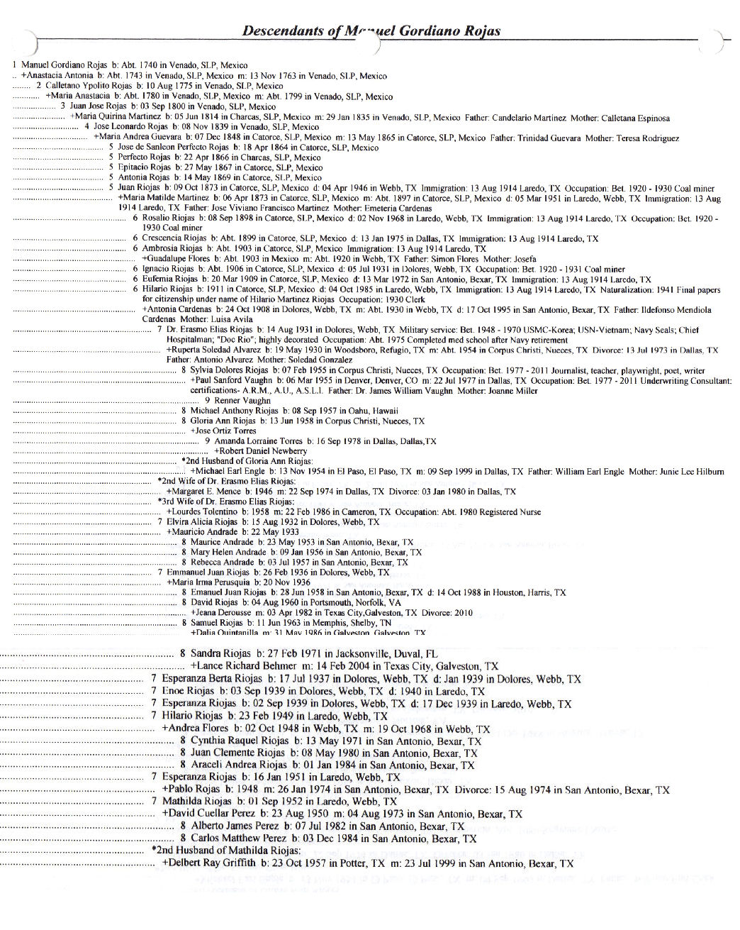
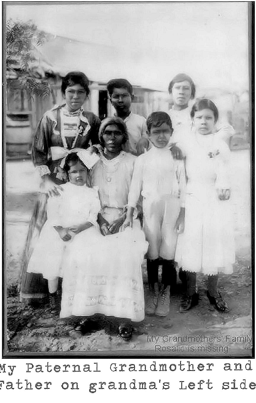
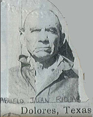
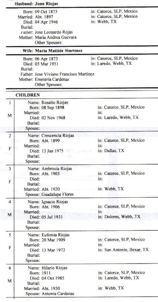
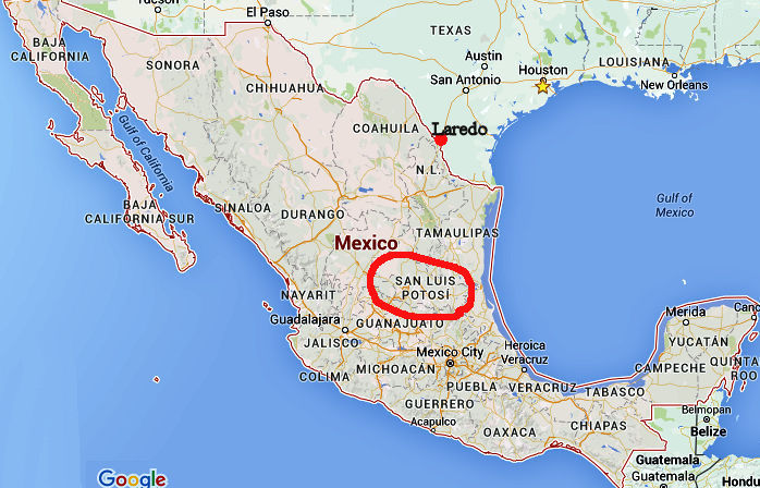
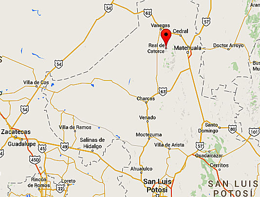
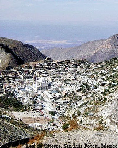
Real de Catorce (Spanish [reˈal de kaˈtoɾse] ( help· info); meaning: Real of Fourteen), often shortened to Real, is a village in the Mexican state of San Luis Potosí and the seat of the municipality of Catorce. It is located 160 miles (260 km) north of the city of San Luis Potosí, and currently has a full-time population of under 1,000 residents. This ‘ghost-town’ in the high and dry expanses of northern San Luis Potosí state was once a thriving silver mining settlement. Real de Catorce has long been a pilgrimage site for both local Catholics and Huichol shamanists, and is now being discovered by international tourists drawn by the desert ambience and reputed spiritual energy.
Some of the richest silver mines in Mexico are located in northern San Luis Potosí. Gold, copper, and zinc are also mined. The state has good transportation networks; San Luis Potosí city is on a major highway and railroad that connect Piedras Negras (in Coahuila) and Mexico City via Monterrey (in Nuevo León).
In prehistoric times the region was home to Huastec, Chichimec, and Guachichile Indians. Their descendants make up a large segment of the state’s present population, and many of them speak an indigenous language.
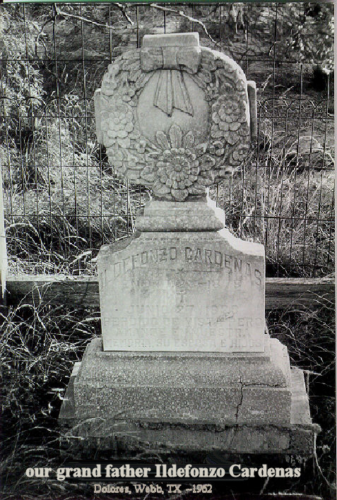
NOTE: Our grandfather Riojas used to speak of the Chichimec Indians as being merciless savages and people feared them.
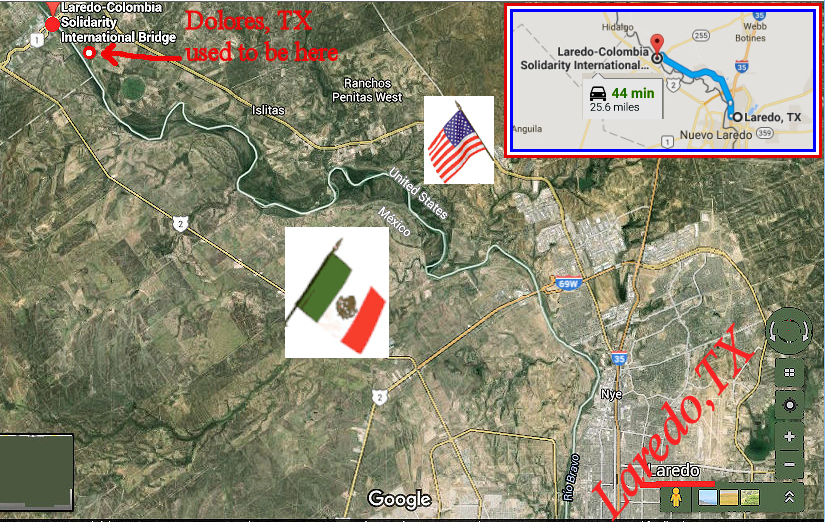
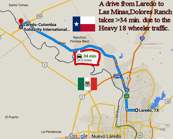
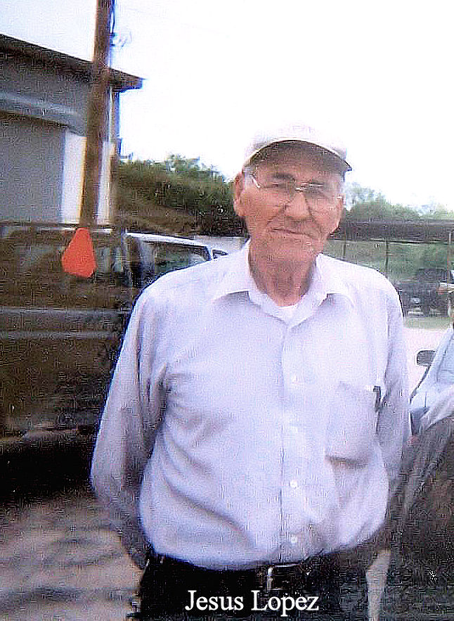
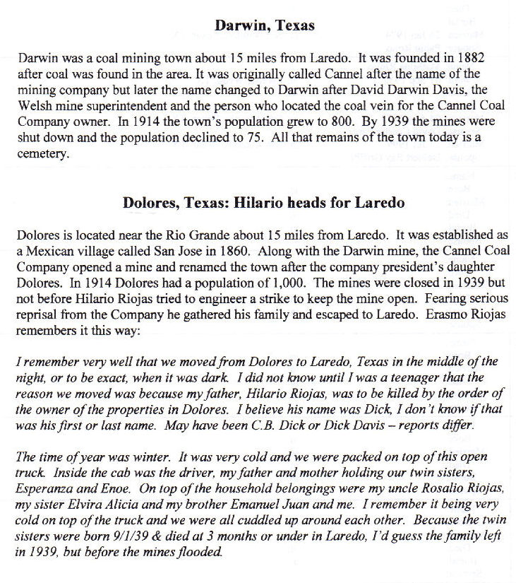
DOLORES, TEXAS. aka:”Las Minas”
FM 1472 and River Road (Private)
On the Rio Grande
Population: Unknown
History in a Pecan Shell
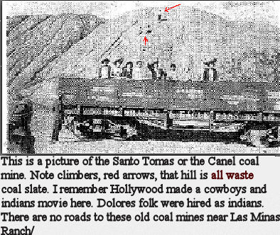
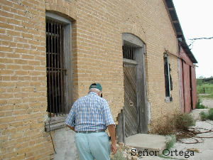
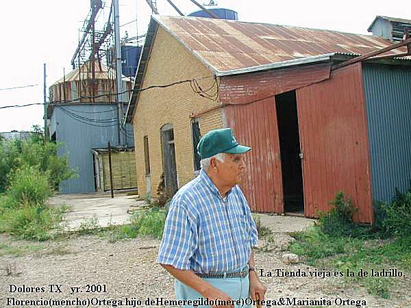
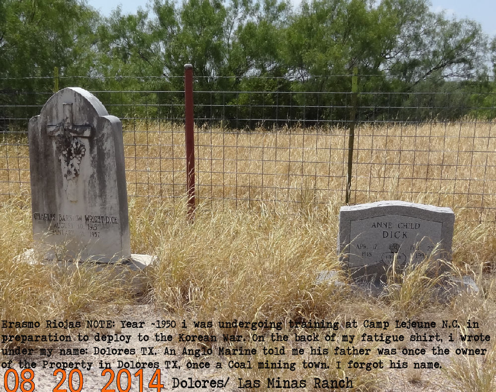
Originally called San José, it existed as a sleepy Mexican village until the 1880s when a company started mining coal here. Chas. Wright, as president of the Cannal Coal Company, built a railroad (The Rio Grande and Eagle Pass) to haul the coal to market. The namesake for the renamed town was Wright’s daughter. A post office was granted in 1913 and a headcount of residents the following years was said to number 1,000.
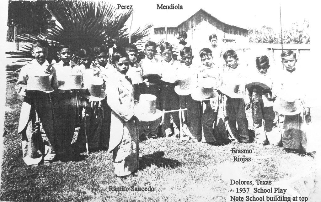
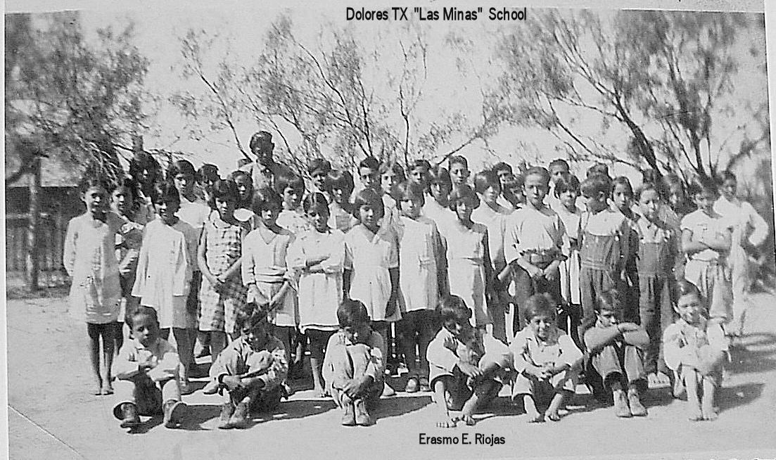
The coal deposits played out in the early 1920s and by 1939 they had ceased operation. There were still enough residents to require a school and in the mid 1930s the population was given as 20 where it remained for decades. The post office closed in 1930. Today only two cemeteries and a few lonely houses remain.
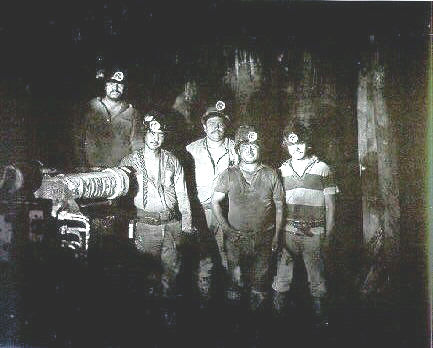
Darwin Cemetery
Located approximately 15 miles northwest of Laredo, Texas on Old Mines Road at Dolores Ranch.
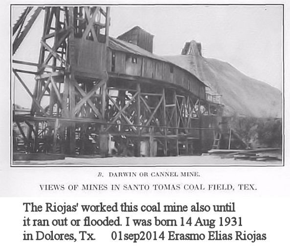
Darwin[1] was a coal mining town near Laredo in west central Webb County, Texas, United States at the confluence of the Rio Grande and Santo Tomas creek near the present day Colombia-Solidarity International Bridge. I
t was founded in 1882 after coal was found near the area. It was named after David Darwin Davis, the Cannel Coal Company owner. In 1914, the town’s population grew to 800 and the Rio Grande and Eagle Pass Railroad was built to transport the coal extracted in nearby mines.
By 1939 the mines were shut down and the population declined to 75. Today, Darwin is a ghost town where all that remains is a cemetery.
SANTO TOMÁS, TEXAS.
Santo Tomás was a coal-mining town near Laredo in west central Webb County, Texas, United States.
The town was founded in 1801 by Antonio Gonzales and was named in honor of Saint Thomas. During the colonial era the land was used primarily for ranching. Pure quality cannel coal was found and extracted in 1873.
In June 1882, the narrow-gauge Rio Grande and Pecos Railroad was built to transport the coal. By 1900, the town grew and had a population of approximately 1,000. By 1920, all the mines closed and the population of Santo Tomás decreased to 18. Today, Santo Tomás is a ghost town near the Colombia-Solidarity International Bridge.
Santo Tomás was a coal-mining town twenty-seven miles upstream from Laredo and about three-quarters of a mile from the banks of the Rio Grande in west central Webb County. The town was located on land originally granted about 1801 by Spain to Antonio Gonzales. During the colonial era and into the nineteenth century the land was used primarily for grazing. Although the presence of coal deposits had been known for decades, it was not until 1873 that Charles Callaghan, a prominent sheep rancher, and Refugio Benavides, mayor of Laredo, began mining a surface outcropping of coal.
In 1880, David Darwin Davis, a Welsh immigrant, while on a reconnaissance of the coal region upriver from Laredo, exposed a rich seam of a superior quality cannel coal, free from sulfur and other impurities. It was pronounced by engineers and miners to be the best steaming coal west of the Mississippi. Alexander Cameron Hunt, the former governor of Colorado and the general manager of the Mexican National Construction Company, helped finance the building of the narrow-gauge Rio Grande and Pecos Railroad, which reached the mines in June 1882. In 1884 miners went on strike at Santo Tomás arguing that they had not been paid. Although several miners left, the mine eventually reopened and by 1900, the town had a population of approximately 1,000. As indicated by the 1900 and 1910 censuses, most miners were recent immigrants from northern Mexico.
Ohio-born Will A. Roy was the mine superintendent. The community also included fruit peddlers, brick masons, mule drivers, water peddlers, carpenters, and small merchants. Besides a few stores, the town consisted of a hundred crudely built company shacks. Life in the mining village was dull. The men worked hard, salaries were low, working conditions dangerous, and living conditions bad. The poorly built houses provided little protection during the long and hot South Texas summers and bad weather in the winter. Water had to be brought from the Rio Grande and was sold at ten cents a barrel.
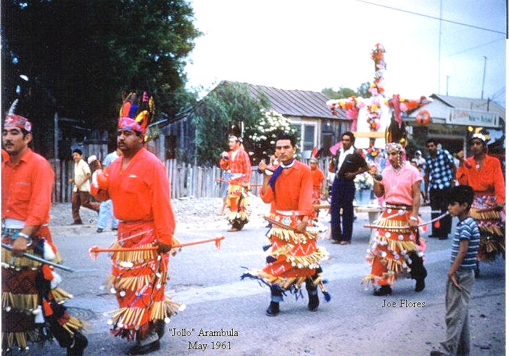
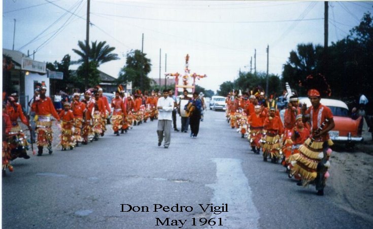
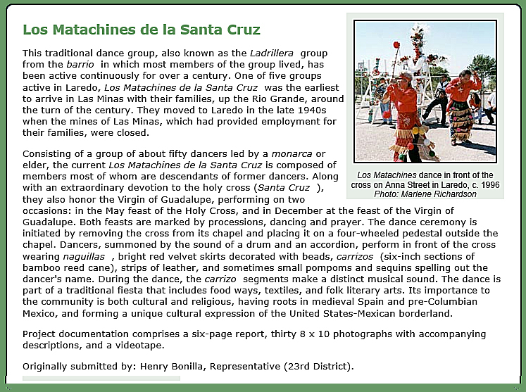
The social life of the miners consisted of pastorelas during the Christmas holidays and again on the day of Santos Reyes (Epiphany), when the Christmas manger was taken down. They also celebrated the Fiesta de los Matachines on May 3. Weddings were also a celebrated occasion in Santo Tomás, as were dances held on Saturday night. By 1920 the mines had closed and only eighteen people lived in the village. Most of the houses had been moved.
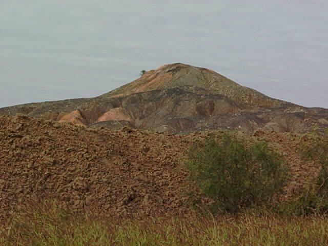
Today only a slag heap from Farm Road 1472 near the Laredo-Colombia Solidarity Bridge marks the spot where Santo Tomás once stood.
Josephine Worsham Garcia, The Coal Mines (MS, Laredo Public Library). Jerry Don Thompson, Laredo: A Pictorial History (Norfolk: Donning, 1986).
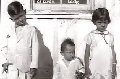
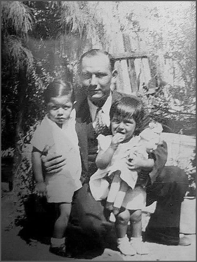
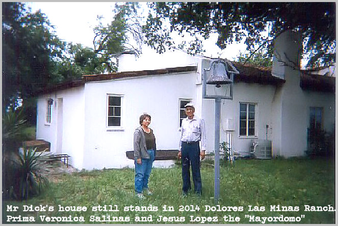
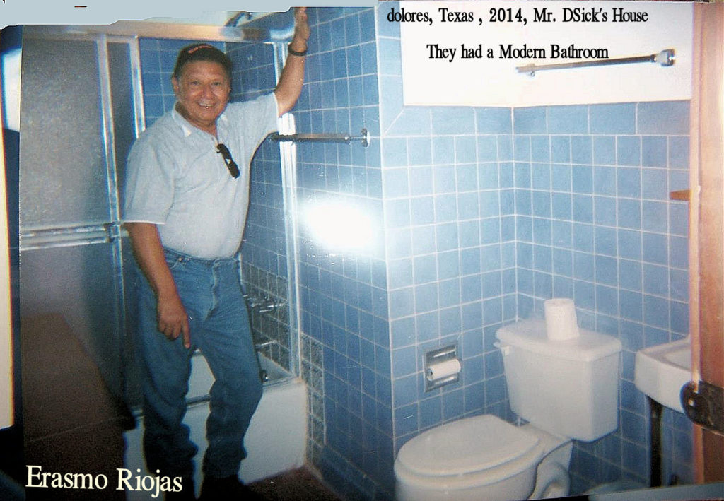
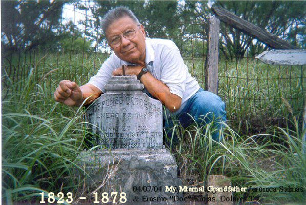
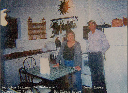
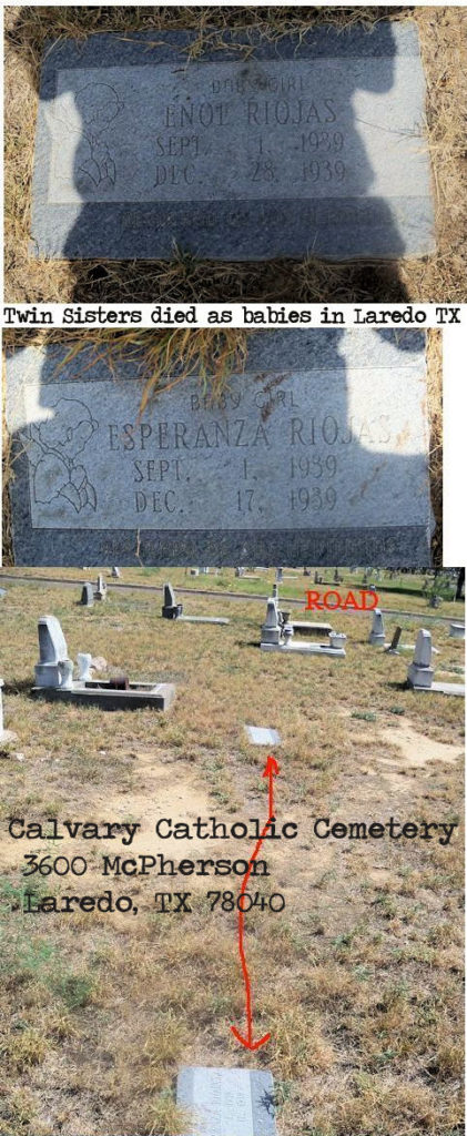
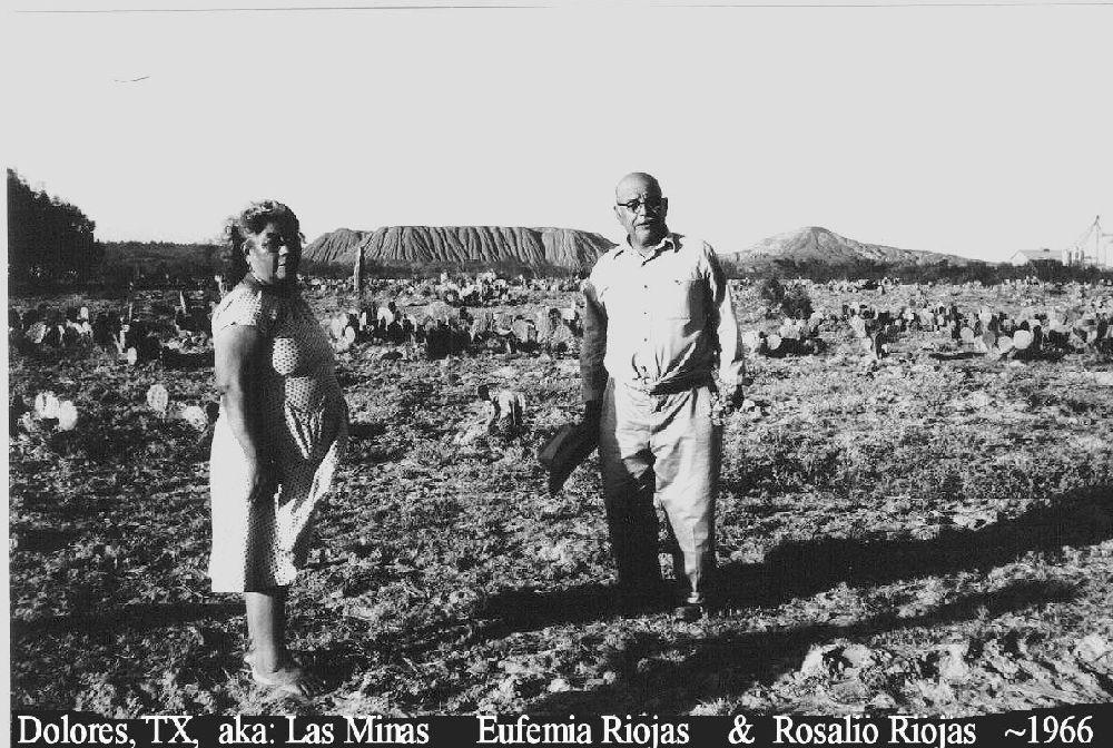
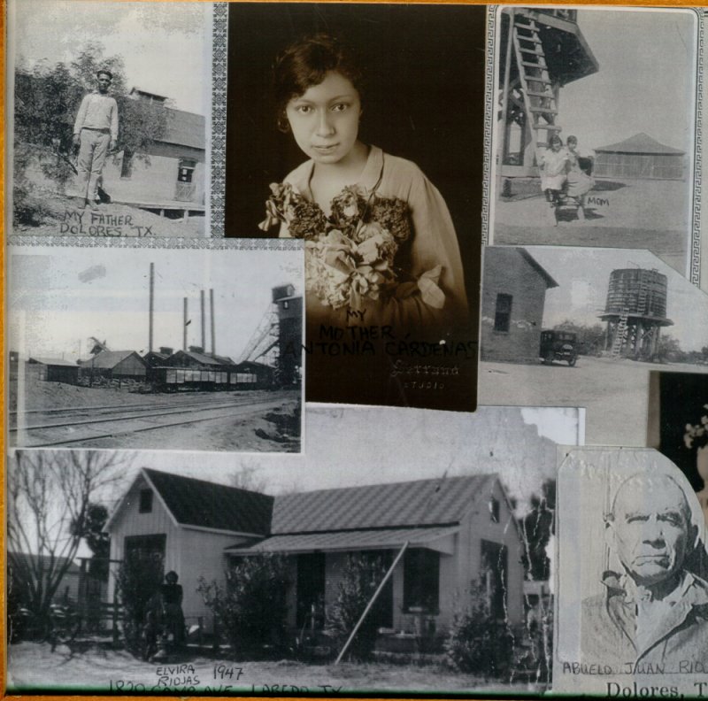
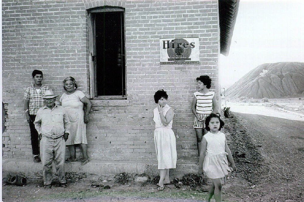
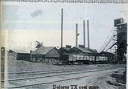
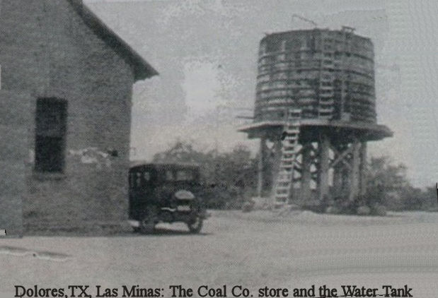
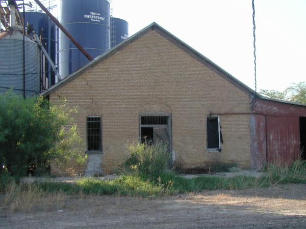
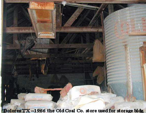
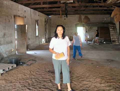
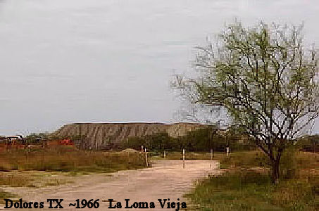
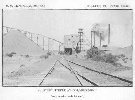
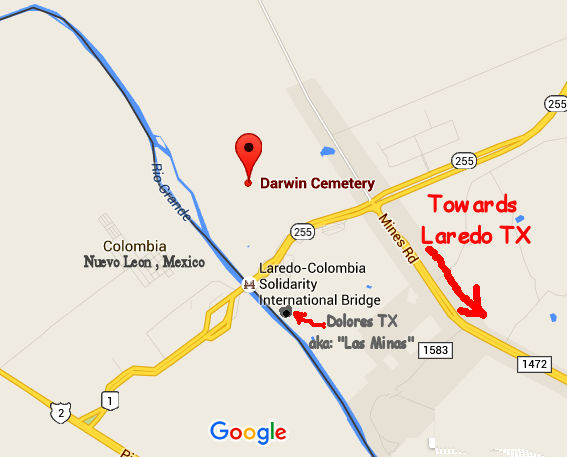
Lt.: Steel Tipple at Dolores TX coal mine
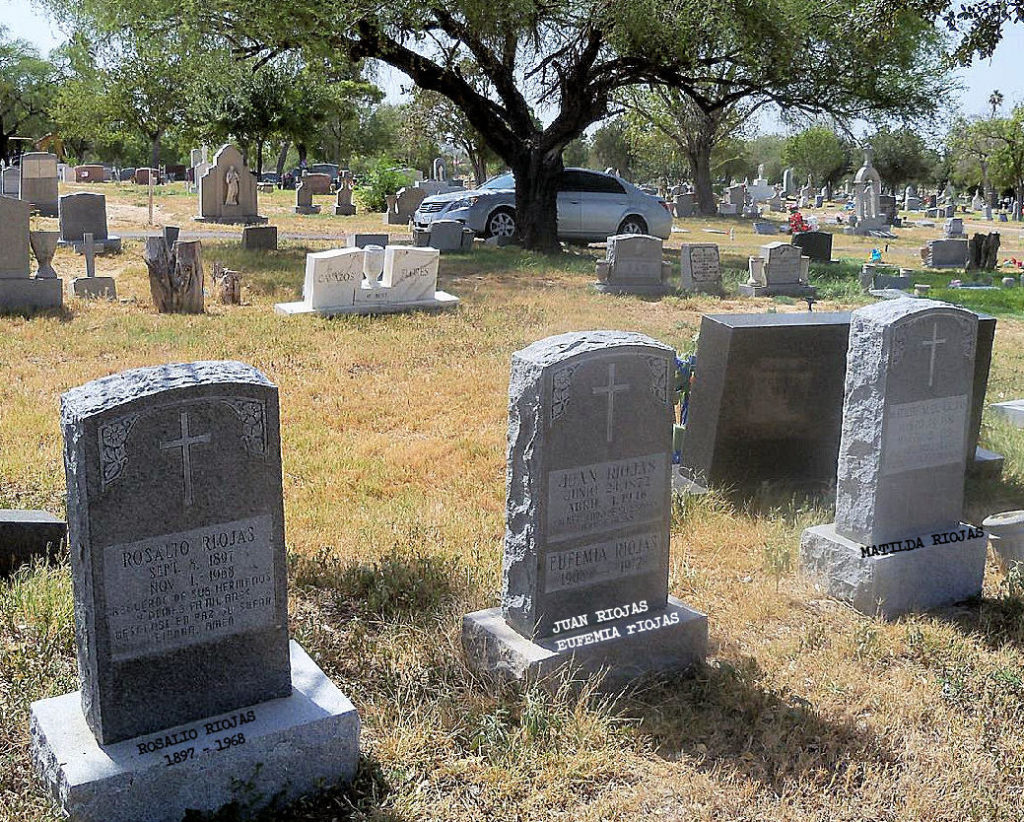
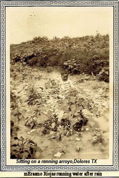
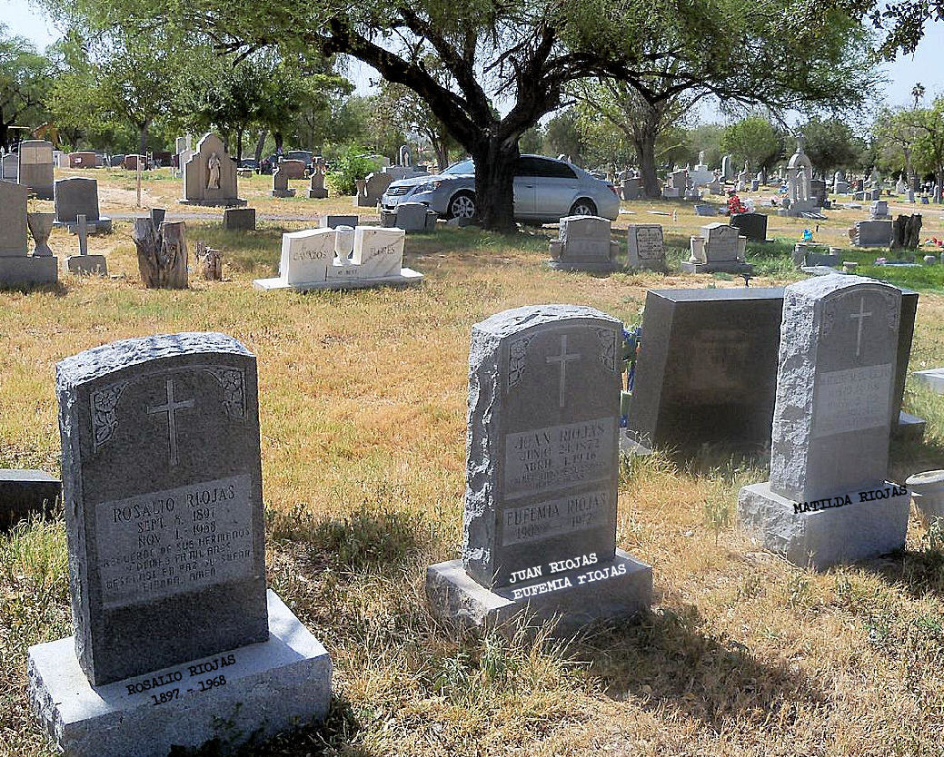
Rt: Erasmo Riojas having his first swimming lesson in Dolores TX, my grandfather Juan was standing by so I would not drown.


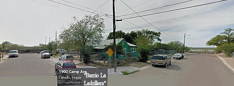
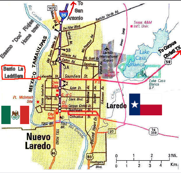
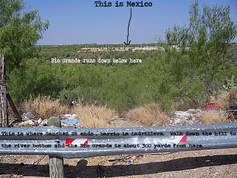
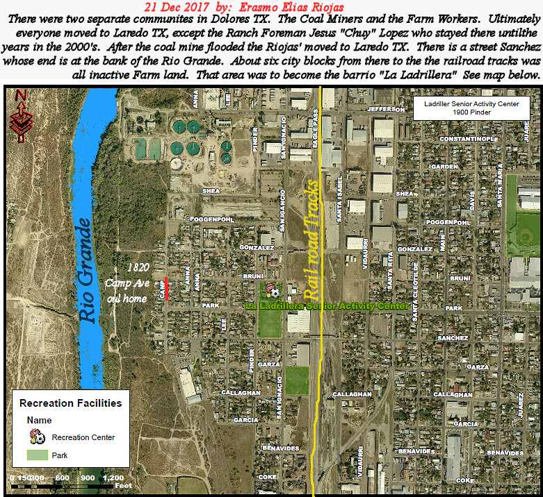
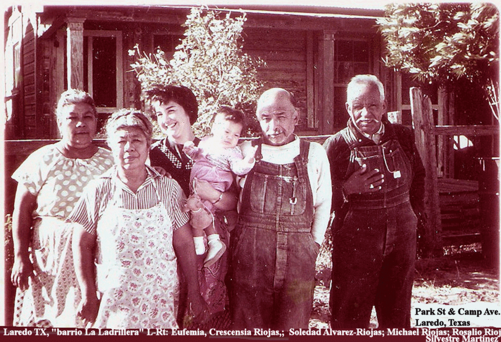
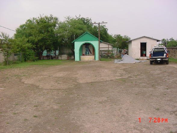
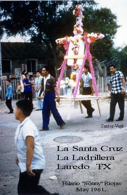
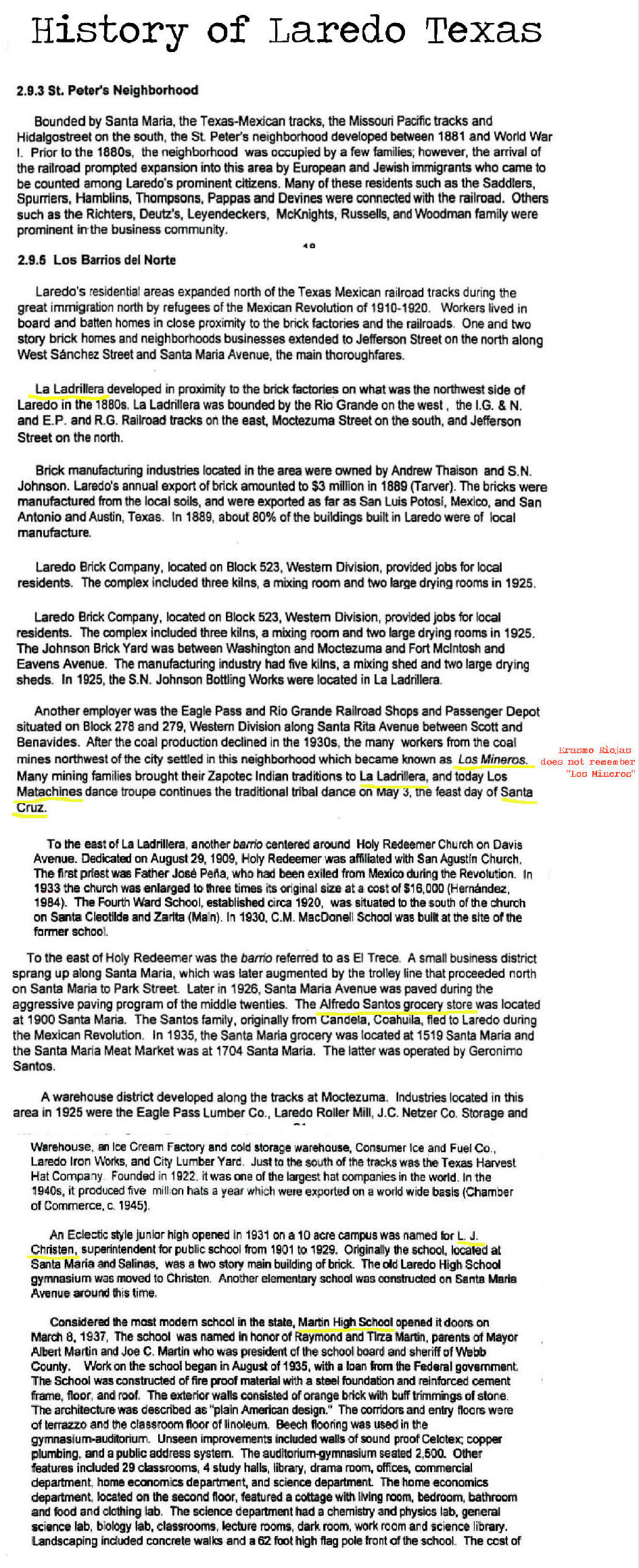
Barrio “La Ladrillera” Ladrillo is spanish for Brick
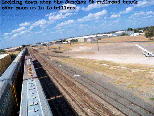
It was named because at the corner of Sanchez St. and the Railroad tracks was a Brick manufacturing Factory. they dug dirt from both sides of Sanchez St. and there were two huge holes larger than the size of a city block. I cannot remember the year the Brick factory closed and way much into the 1960’s – 1970’s the large pits were filled up and home were built upon the fill. I am forgetting to mention also that it was about the 1960’s that the City built an overpass over the railroad tracks on Sanchez St.
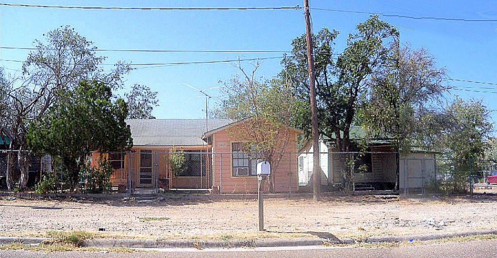
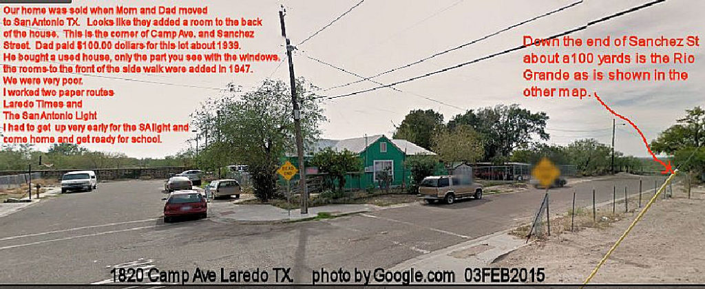
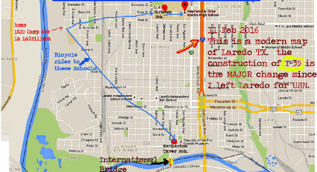
1820 Camp Ave, Laredo, TX Home of Hilario M. Riojas. ~1940 my father bought the part of the house which shows the window(small window there in 1940. He added that part of the house that shows behind the yellow DEAD END sign ~ 1947. That part of the house at the extreme right was added ~ 1941-42 and is the kitchen. The little hootch that is next to the kitchen was our shower hootch. About where the right large tree was our out houses. Between 1940 and 1948 we had two outhouses. To the side of our shower hooch my Uncle Juan Cardenas, Father, and I dug a deep hole and filled it full of large/small rocks that we hauled in from around the “hood” towards the Laredo Water Plant for our Mexican Idea of a septic tank. September 1948 when i left home for the USNavy it was still functioning.
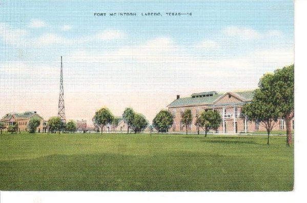
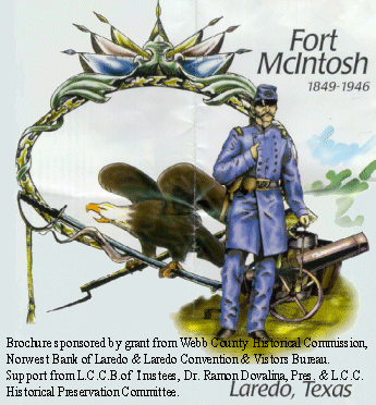
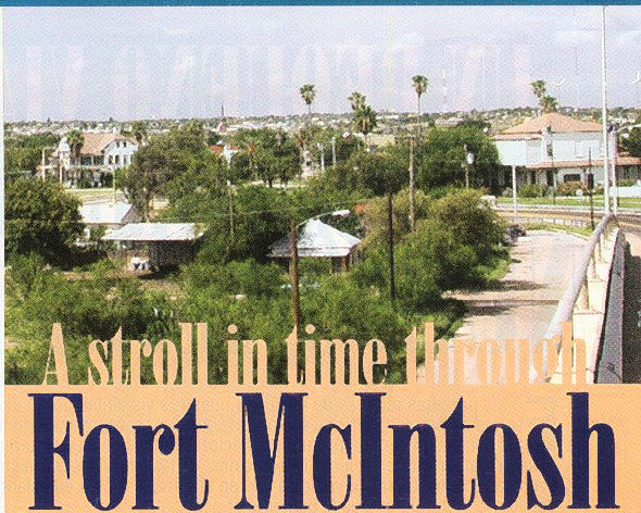
It is presently a Texas A&M University campus
The stone fence to the left of the picture was constructed by the WPA during WWII and on the other side is the Fort McIntosh U.S. Army Camp. In the backyard we planted two peach trees and father plowed a lil victory garden during WWII and grew tomatoes, onions, corn, squash, watermelons, and melons. We went fishing down to the Rio Grande and we ate everything we caught, Gar, Turtles, catfish. Father worked for the Missouri Pacific railroad and when they brought in train cars with fruit from Mexico like bananas, pineapples, etc. he would tell my brother and i to go see if anything was left worth bringing home to eat or for the chickens. Sometimes we found cars with animal grain feed and what remained on the car from spillage we would gather for our animals.
From our house we walked to grade school. There were about 10-12 sets of railroad tracks and very often the train was doing it work blocking Sanchez St which made us wait to cross. Aside that, during WWII, Sanchez St. was blocked all the way to Part St by a air strip the U.S. Army built there for lil piper cub airplanes. After the war, the Border Patrol used it for border surveilance and the Ft. McIntosh Camp was turned over to the city and they started a Junior College much after I joined the USNavy. Upon the Border Patrol removing the little air strip, City of Laredo opened up a city bus route to the “La Ladrillera” and later they started paving the streets.
All the streets from the railroad tracks to the end of Sanchez St (see red arrow to the right of photo) were dirt, rocks in very poor condition. We did not own a car. We rode bicycles everywhere.
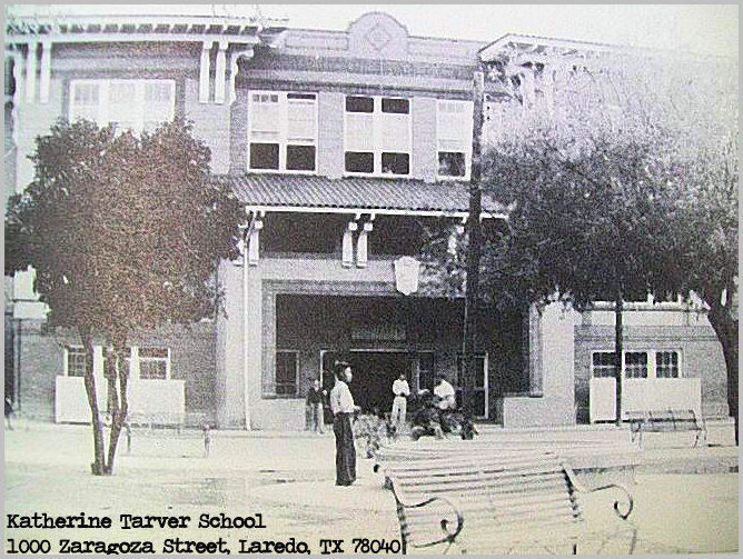
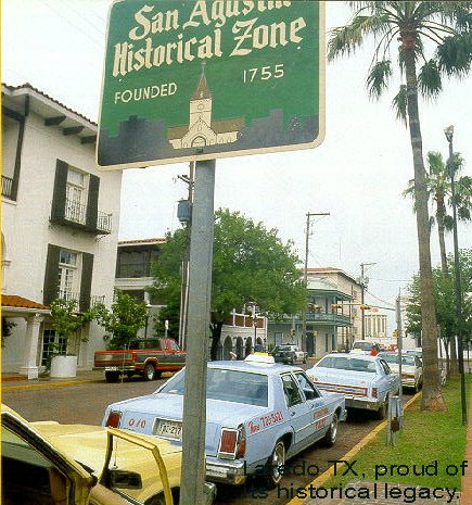
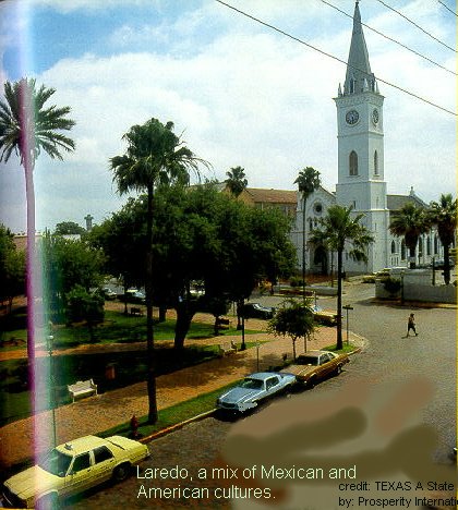
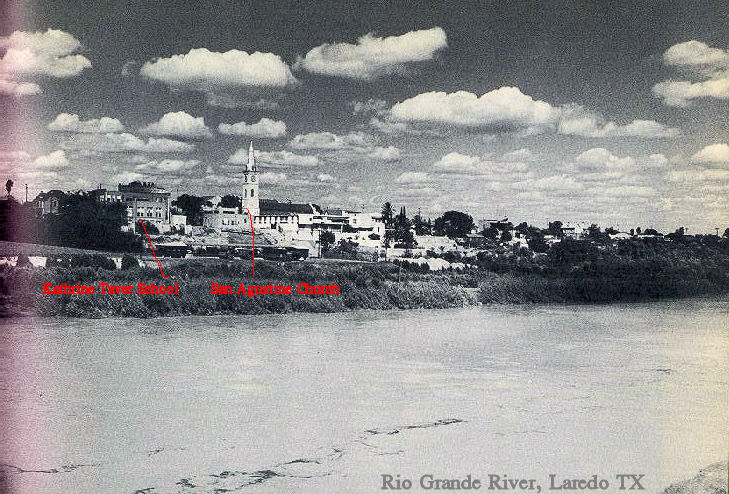
The year that my Sister Elvira, one year younger than Erasmo, attended Katherine Tarver School she rode on the back of my bike and it was a good distance from La Ladrillera. Mother packed us one taco and gave us a nickel and we ate at the corner hamburger joint by the St. Agustine Plaza. A very large soda pop, NEHI, and that was great until one of our school friends told us that she was eating at this ladies house about two blocks from the school for $0.10 cents. She could only sit six kids. She made us wash our hands, sit in the parlor until called and then the boys had to pull the girls chair for them to sit down. We gave God thanks and then we ate. Always, a lil bowl of soup. Two corn tortillas. and whatever she cooked for the main course. It was a lot better than the usual taco of egg and potatoes or egg and frijoles and the Nehi soda.
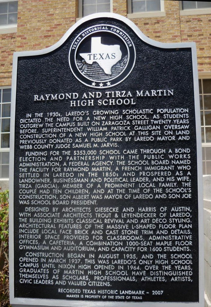
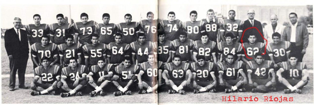
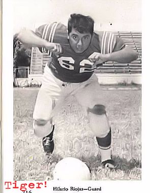
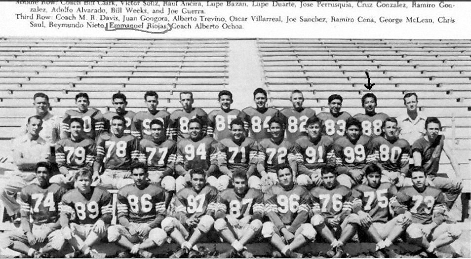
We graduated from K.T. School to 8th and to L. J. Christen School on Park St. and Santa Maria. That was a much close ride on my bike. I usually let my sister get off the bike a block away because some of my friends were saying she was my girl friend. I did not like that ! Same after we finished L.J. Christen and attended Martin High School right next door. I was on the football and track team so my sister either had to walk home or wait until i finished practice.
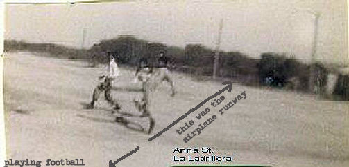
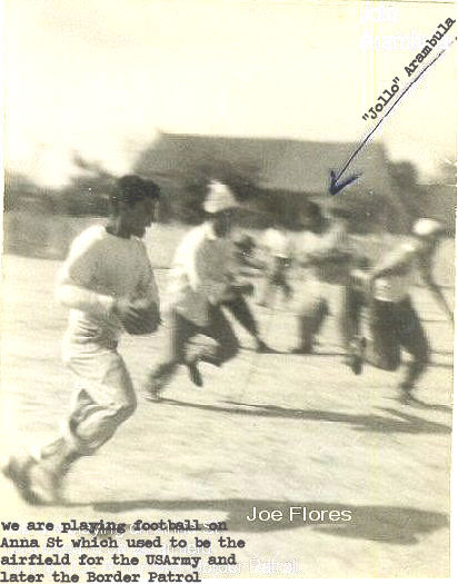
Note: El Barrio La Ladrillera. This is Anna St back in the 1940’s after the USArmy folded at Camp Mac Intosh and the US Border Patrol quit using this Street as a runway for their piper cub airplanes. The runway was wire fenced starting from the Stone Wall all the way around to Park St. and back around to the brick wall. The dirt was made firm by oil so that it appeared black. Joe Flores running the football and “Jollo” Aramabula, the heaviest boy in La Ladrillera, at the top of this picture.
